|
|
Post by xsyamahadg on May 17, 2010 8:26:01 GMT -5
Up until Christmas of this year I haven't had a GPS unit, so I was excited when my wife gave me one as a Christmas gift. After using it several times, I'm not too sure if I can rely on it...or want to rely on it. The few times I have used it, the GPS took me the long way around and actually put extra miles on the trip. I know this because I experimented with it while going several places I frequent. It appears to me that you should have a good idea of where you are going or the GPS could run you around the long way or even get you lost. I'm still going to check my map before, during and after a ride until I gain more experience with GPS
Also, I'm not comfortable trying to read the GPS while riding, I pull to the side of the road for an update.
|
|
Deleted
Deleted Member
Posts: 0
|
Post by Deleted on May 17, 2010 9:15:09 GMT -5
I do not have a GPS and don't really want one. (If someone bought me one as a gift, I wouldn't turn it down!  ) I happen to love printed maps! For the price of my annual AAA membership I can get all the road maps I need. However, I see the availablility of printed maps fading away with more and more people using the GPS units. Also, since maps constantly change, printed maps go out of date in a few years. I like to study the maps and plan my routes ahead of time. I do like Google maps for planning. I then print out the sections I need. I know people who literally cannot get anywhere without the GPS and if it failed they couldn't get home!!! Just remember --- if your GPS unit fails and you have a poor sense of direction, you are out of luck without a printed map. I have read that the satellites that operate the GPS system are aging and will have to be replaced but there is no money available for replacement. Since i never used a GPS unit, I've got no idea how the software works but it seems like there would be an option to take the 'shortest' route or the 'fastest' route (either taking or avoiding interstate highways for example). Update: after a little reading I am convinced that the older satellites are due for replacement and there will be no interruption to the GPS signals. www.fiercegovernmentit.com/story/gps-iif-satellite-set-launch-may-20/2010-05-12 |
|
|
|
Post by xsyamahadg on May 17, 2010 12:03:12 GMT -5
I noticed that while on the expressway between Alliance and Canton, the GPS was telling me which lane to use to avoid the orange road construction barrels. That I like !!  |
|
Deleted
Deleted Member
Posts: 0
|
Post by Deleted on May 17, 2010 12:41:45 GMT -5
|
|
|
|
Post by x90rider on May 19, 2010 4:40:33 GMT -5
I have been using GPS for over 25 years now and I think that it is a nice tool to use while traveling. We have them and use them all of the time: boats, cars, motorcycles, snowmobiles, and walking. It sure helps when I am working in China and have to find a location in the city or find my way back to the hotel.
|
|
|
|
Post by jeffe on May 19, 2010 18:56:44 GMT -5
With my new job function I would need maps to 8 states plus detatiled maps of all their major cities. So I do use mine alot. I did use it on the bike on my current trip, but only to find the motel when I got myself close. A lot of our new techs can not plan a route with a paper map....kinda worries me a bit.
|
|
|
|
Post by mgorman on May 21, 2010 11:20:14 GMT -5
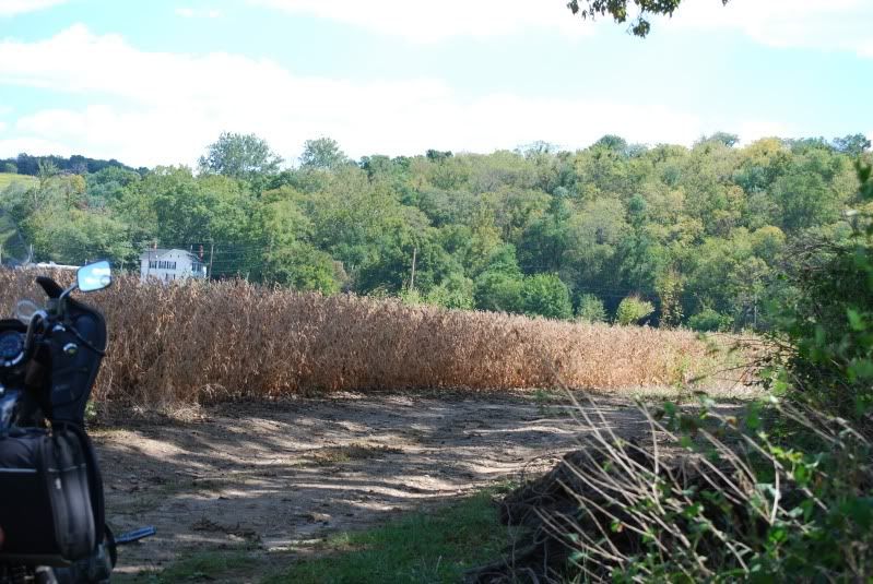
I like mine, it is programmable to the point I can plan the route, up load it and it will follow. If I make a mistake it will get me back. It has settings for fastest time, shortest distance, avoid tolls, highways, u-turns and shows me where every BMW shop is (useless to me). When I am off-road, it shows me the nearest roads. It also has functions to show all the nearest gas stations, food, lodging, etc in real time. The only time it gives me fits is in very remote areas where roads have been removed due to striping, abandonment or vacated. It may say turn left and there'd be a gate so you just go to the next left and it will put you back on route. Afterwards I can download all the tracks and keep a log of where I have been. Tells me my speed at each point on the trip so maybe someday, it will get me out of a ticket!! It also calls out speed, max speed, trip, distance, time, elapsed time, running time, stopped time, average speed rolling, over all average speed, elevation and bearings. We rode across (through) the bowels of Pittsburgh, W.Va and to a house in SE Ohio and never had to stop, never had to look at a map and my unit sits on the dash just below my line of sight. I also use a roll chart to keep specific details about the place I will be. (not shown in pic)  |
|
|
|
Post by xsyamahadg on Aug 3, 2010 10:41:43 GMT -5
I must not be using my GPS correctly, Sunday we went to Shade Tree in Middlefield Ohio, if I had relied on the GPS, I would have driven an extra 10 or 15 miles out of my way. I have been to Shade Tree several times, so I knew the route. The GPS didn't exactly pick the most direct route, it picked a scenic route. Is that typical of GPS ? Or maybe mine just doesn't like me.
I didn't see an option for "Direct or Scenic route".
|
|
|
|
Post by amtrak on Aug 3, 2010 15:30:22 GMT -5
|
|
|
|
Post by mgorman on Aug 3, 2010 16:01:48 GMT -5
I didn't see an option for "Direct or Scenic route". Depends on your unit. Mine has various setting for shortest distance, fastest time, avoidances and purposeful detours (add a stop). If you use mapquest, google maps and my Garmin, they all give you slightly different directions. I used mine Sunday to ride 177 miles to the middle of a strip mine in southern Ohio and back. The trip back, I kept the bike heading north by compass and just picked convenient roads. Once I was on 93, I rode that all the way home from Zanesville. The GPS got me around a detour on 666 that ODOT wanted me to take many miles out of my way. A quickie around the country side and I was back on track. It also told me where the nearest dozen or so gas station were. Totaled 423 miles on the 640 with a 60 mile portion on a dual sport ride. |
|


 ) I happen to love printed maps! For the price of my annual AAA membership I can get all the road maps I need. However, I see the availablility of printed maps fading away with more and more people using the GPS units. Also, since maps constantly change, printed maps go out of date in a few years. I like to study the maps and plan my routes ahead of time. I do like Google maps for planning. I then print out the sections I need.